
Storms were making their way across the state Saturday, bringing strong winds, heavy rain and more tornado and thunderstorm warnings to communities already on edge three weeks after the deadliest tornado event in Kentucky’s history.
Three buildings were reportedly damaged when “a spin up” was reported in Hopkinsville late Saturday morning, said Kyle Wilkins, meteorologist with the National Weather Service in Louisville.
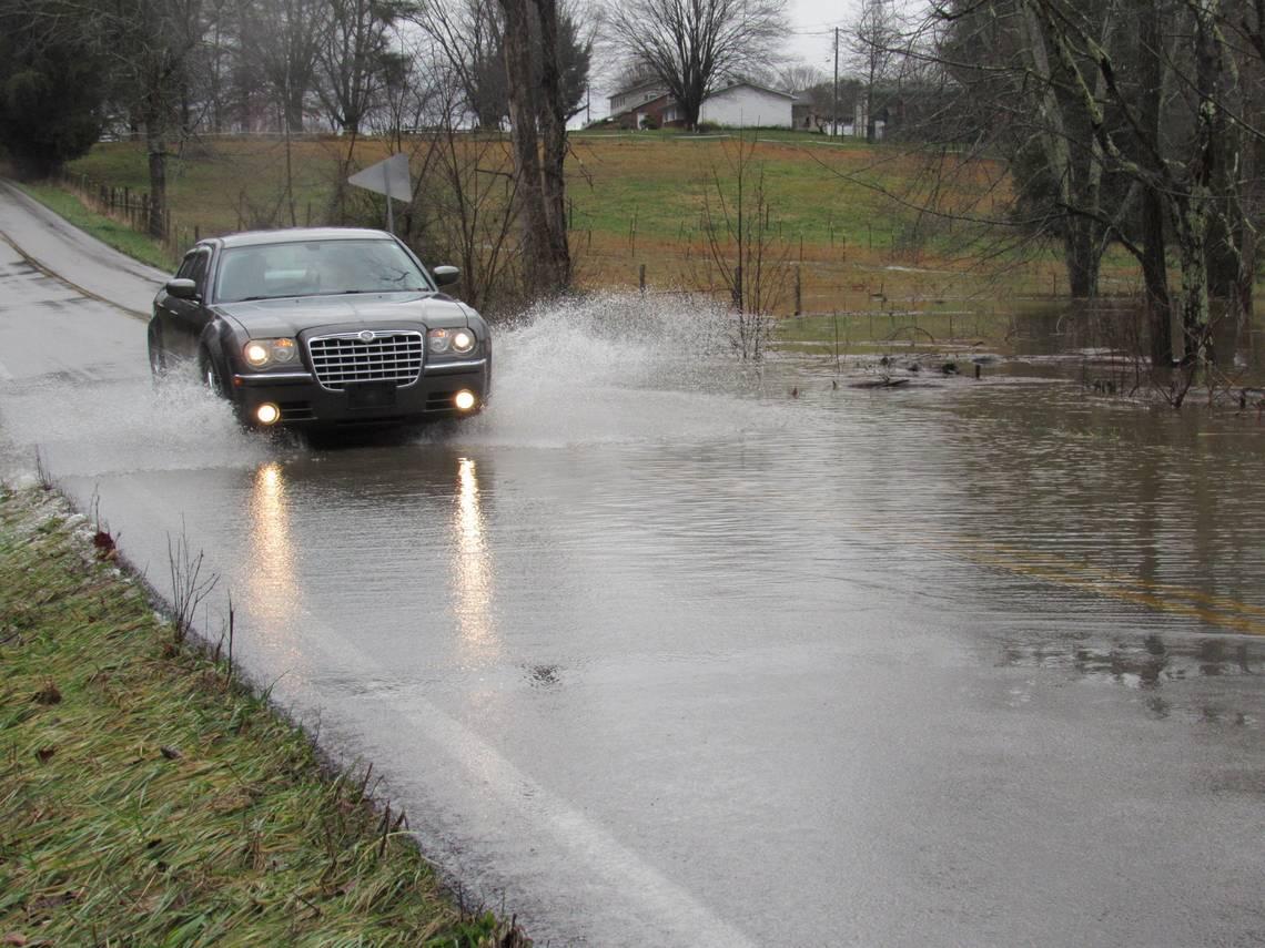
Tornado and severe thunderstorm warnings were issued in multiple counties as a line of storms rolled through early Saturday afternoon. Most of the state was covered by flood watches, warnings and advisories.
Wilkins said heavy rainfall was reported across southern Kentucky ranging from Warren County into eastern Kentucky Saturday morning, with some areas reporting four inches of rain or more. He said there were some reports of water rescues.
Fayette County received nearly an inch of rain from midnight through about 11 a.m., Wilkins said, but more rain was expected over Central Kentucky throughout the afternoon.
“There’s still quite a bit of rain left,” Wilkins said.