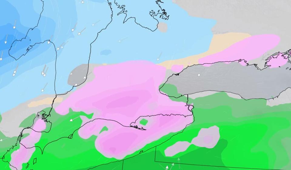
The week will start with some tricky travel across much of southern Ontario as periods of freezing rain are followed by a few centimetres of wet snow as temperatures cool later Monday. While accumulations won’t be anything significant, it could still be enough to slow commute times with the ice and snow mix. Heavier snow totals are expected for areas north of the Greater Toronto Area and towards Barrie. The wild weather rollercoaster continues this week as temperatures soar well above freezing by Wednesday. More on the wintry start to the week and the warming trend that follows, below.
Visit our Complete Guide to Spring 2022 for an in-depth look at the Spring Forecast, tips to plan for it and much more!
MONDAY: SLICK TRAVEL DAY WITH PERIODS OF FREEZING RAIN AND SNOW
Widespread freezing rain warnings were issued across southern Ontario first thing Monday, with the risk for some ice build-up on cars and roadways. Ice accretion of 2 to 4 mm is possible on untreated surfaces in the hardest hit areas.
“Slow down driving in slippery conditions. Watch for taillights ahead and maintain a safe following distance,” says Environment and Climate Change Canada (ECCC) in the warning. “There may be a significant impact on rush hour traffic in urban areas.”
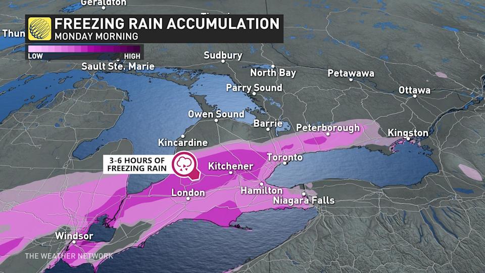

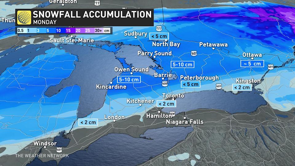
The freezing rain risk will diminish through the early afternoon hours on Monday, as temperatures cool and the precipitation changes to ice pellets and then snow. Through the afternoon, the snow will spread across the region, becoming the heaviest through eastern Ontario.
“There could be some lingering snow for the start of the evening commute through the GTA and eastern Ontario, but by the time the evening commute will be done, the snow should move out of the GTA with a couple of more hours of lingering snow likely for eastern Ontario,” says Matt Grinter, a meteorologist at The Weather Network.
Between 5-15 cm of snow is expected between Newmarket and Muskoka, with lesser amounts likely along the 401 corridor as most of the snow will melt upon contact.

LOOK AHEAD: MID-WEEK WARM-UP BEFORE TEMPERATURES PLUNGE AGAIN
Much of the region will see fair weather for a couple of days mid-week with near-seasonal temperatures returning ahead of more unsettled conditions later in the week.
A blast of Arctic air is expected for the weekend with well below seasonal temperatures and strong winds, along with a threat for some snow. Conditions will be very cold during the start of the following week before the frigid pattern relaxes as we progress through the week.
Be sure to check back for the latest updates on the forecast in Ontario.
